

| SERVICES | 2D CONTEXTUAL MAPPING | |
Photogrammetry |
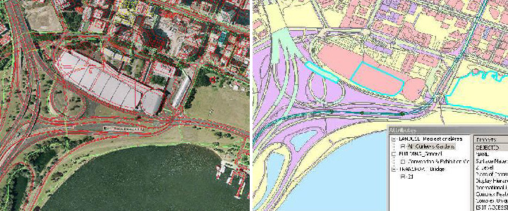
The scope of the project involves digitization & attribution for features like Buildings, Transportation, Landuse, Structures, Complex & water in a Personal Geodatabase format by using inputs such as orthophotos, universal business directory, streetnet data & Google street view. The project is typically useful for navigation purpose to acquire position data to location the user on a road in the units map database, the unit can give directions to other locations along roads also in its database.
|
