

| SERVICES | 3D CITY MODELLING | |
Photogrammetry |
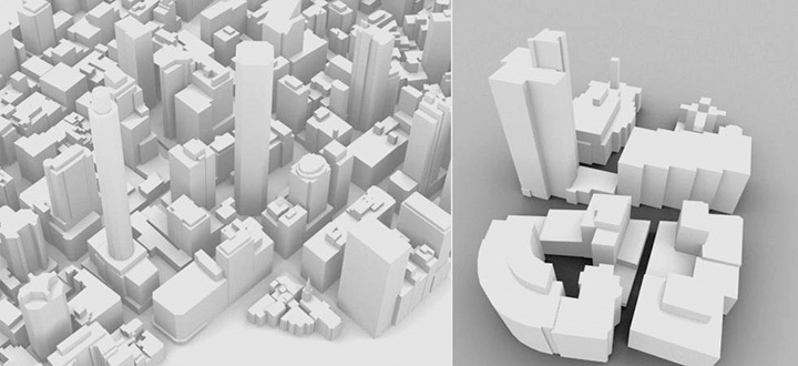
We have created over 550 Sq. Kilometers of 3D city models covering various parts of Australia, UK & African countries. The combined solution 3-d city models derived from Photogrammetry/LiDAR technologies of the and a custom 3D urban simulation software package provides a state of the art solution to allow users to build and simulate any actual or conceptual world environment in highly accurate photo realistic interactive 3-D. The simulator can simulate any location given source terrain photography and a source of height data. CAD models can also be imported into the simulated environment and realistic elements such as vegetations, infrastructure, people and cars, can be created with accurate solar lighting and casting of shadows. This solution allows for highly accurate analysis of development proposals and eliminates render times. It provides a fast efective community consultation and awareness tool. Existing CAD models can be quickly imported and viewed in real times set in a locational context. A simple user friendly interface allows a comfortable transition for people unfamiliar with CAD and mapping software, while powerful features are available to advanced users |
