

| SERVICES | GOLF COURSE MAPPING | |
Photogrammetry |
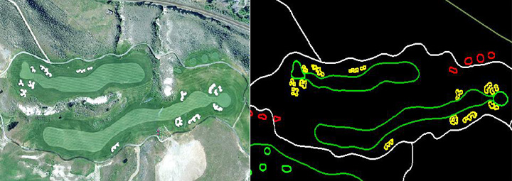
Mapping of Golf Course – Using Orthophotos of golf courses as backdrop, the golf features like Tee, fairway, bunkers, Green water and sand hazards are captured using standard CAD/GIS softwares and then the attributes were added to indicate, size/acerage of golf course, size of Greens, Tee distances, location of hazards, Address of the golf course etc. This comprehensive GIS solution is used for golf course management by the superintendent of the course. Having executed over 5,000 golf courses in US & Canada, our team has extensive experience in Golf Course Mapping.
|
