

| SERVICES | LASER / MOBILE MAPPING | |
Photogrammetry |
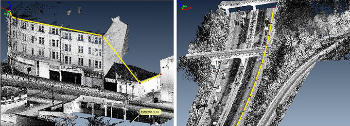
ATG has executed 168 linear KM of Road Corridor project, the point cloud data was acquired from Optech sensor and the task was to create a detail planemetric map along with DTM for 0.2 mtr contours. We used AutoCAD and Polyworks software to process the point cloud data and compile the datasets based the project specifications.
Feature extraction using intensity images
|

